Layer from geonode, 8 years, 1 month ago
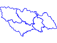
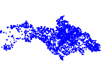
The data contains information on trends in the changes in the use of forests in protected zones Strandja, Bosna and Derventski vazvishenia 2.
GeoNode is an open source platform for sharing geospatial data and maps. If you have any questions about the software or service, join our mailing list.
Need help Getting Started?Total: 38