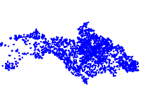
The data contains information on trends in the changes in the use of agricultural land in protected zones Strandja, Bosna and Derventski vazvishenia 2.
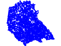
The dataset represents a habitat map of the main habitat types in Southeastern Bulgaria with emphasis on the forest habitat types. The analysis was done in the framework of a diploma thesis called "Coastal dunes and Broad Leaved Forests as an Example of Nature Habitats with European Importance in Southeastern Bulgaria" by Timo Schnell and Tanya Georgieva-Schnell, Institute for Landscape Ecology , University of Muenster, Germany.
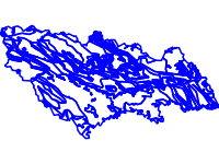
This file contains information about the geological structure of the territory of Strandja Nature Park according the data from the preliminary management plan for Strandja Nature Park in 2005